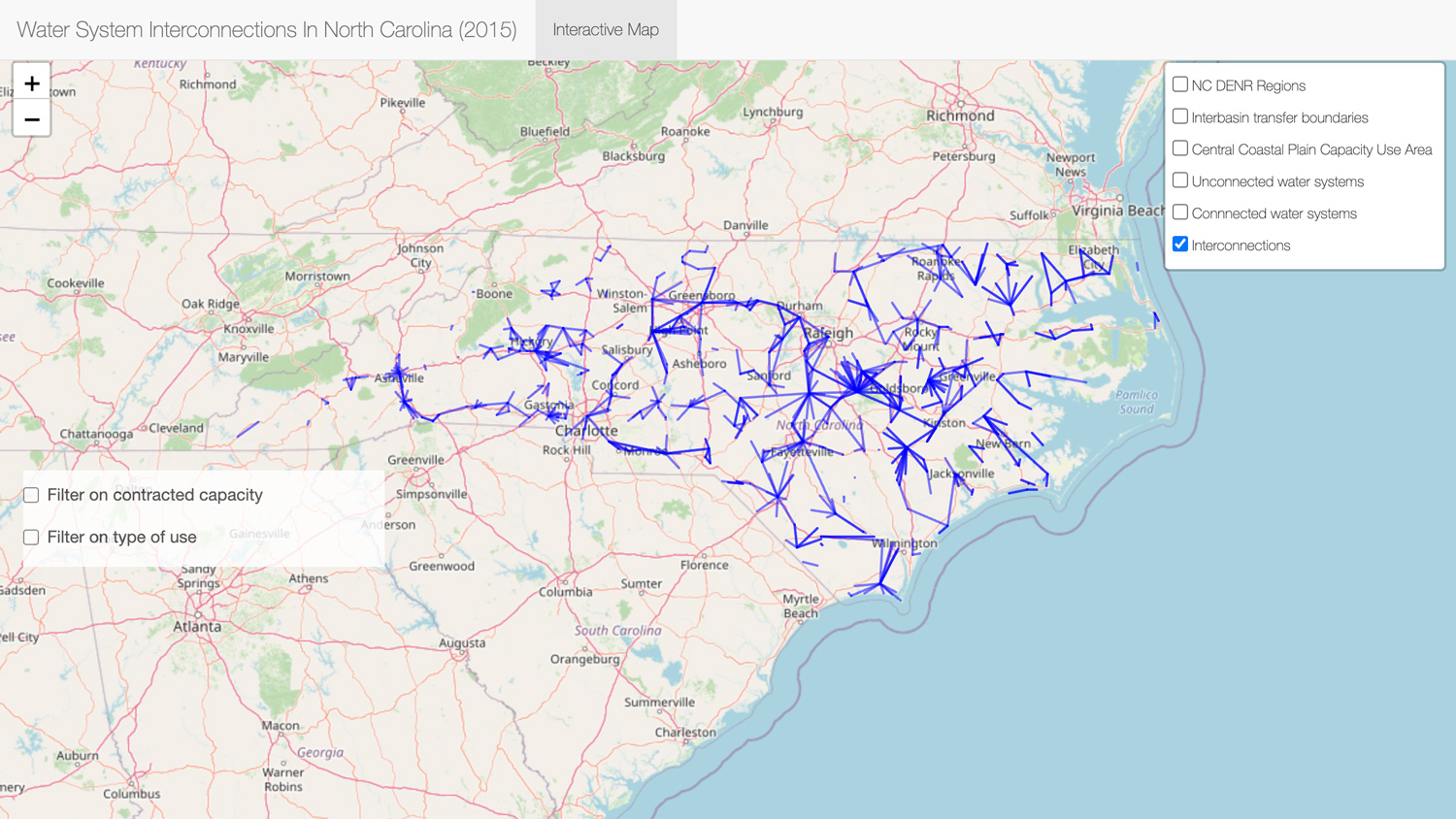
This interactive map displays the interconnections between active community water systems in North Carolina, whether for emergency or regular purchases, as known by the Public Water Supply Section of the North Carolina Department of Environment and Natural Resources. The latest update uses data as of July 2015.
The information on the interactive map shows the locations of connected and unconnected systems with additional layers of information for relevant boundary areas (e.g., interbasin transfer boundaries) to allow users to trace existing water system interconnections with neighboring systems.
The updated version allows users to filter systems by contracted capacity and the type of use for which the interconnection is intended. Click on the icon at the top right corner to turn on or off different layers on the map. Click on any feature in the map to view information about the feature. We strongly recommend viewing the map on full screen.
View The Dashboard
Accessibility Statement
The University of North Carolina at Chapel Hill believes everyone in our community deserves equal access to information. Interactive Map Of Community Water System Interconnections In North Carolina is available to provide data to make decisions for public policy. We are committed to creating an inclusive digital experience. If you are unable to access this information, please contact the Environmental Finance Center for more options.


